Skip to Content

Enroute Low Altitude Chart L-3/4

https://www.roctexo.com/web/image/product.template/85862/image_1920?unique=3fc3e63
Part numbers : RX1-13-05186 , L3/4 , 13-05186
Unit of Measure: EA

4.51 EUR / EA 4.51 EUR 4.51 € excl. VAT

4.51 EUR / EA excl. VAT

Not Available For Sale

This combination does not exist.

Availability
Not in stock
Available to order. Lead times vary.

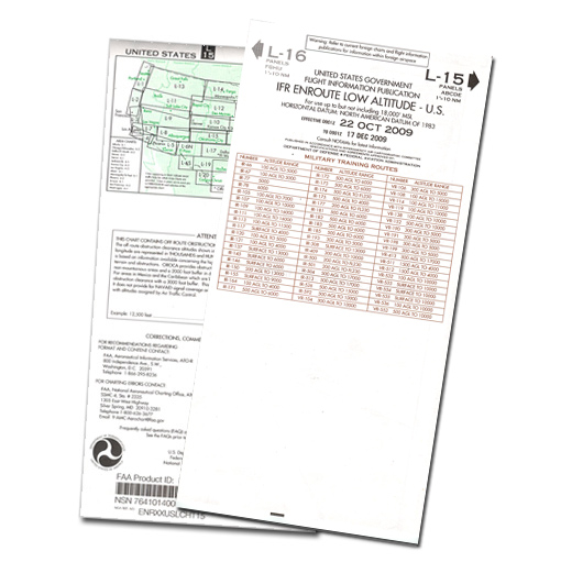
Enroute Low Altitude Chart L-3/4 is an IFR navigation chart for operations below 18,000 ft MSL in the conterminous United States and Alaska.

The chart presents aeronautical information including airways, controlled-airspace limits, radio-navigation aid positions, identifiers and frequencies, airports with terminal air/ground communications, minimum enroute and obstruction-clearance altitudes, airway distances, reporting points, special-use airspace and military training routes.

  • Manufacturer part number: L3/4
  • Chart format: approximately 127 × 51 cm unfolded; approximately 13 × 25 cm folded
  • Scale varies by chart area
  • Unit of measure: each

Suitable as a current-reference chart where the applicable published edition is required for IFR flight planning and navigation.

These products might also be of interest

Your Dynamic Snippet will be displayed here... This message is displayed because you did not provided both a filter and a template to use.