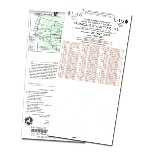
Image for illustration only. It may show a product series rather than the exact product offered.
RX1-13-05186
Enroute Low Altitude Chart L-3/4
4.60 EUR/EA
Excluding VAT
Availability
Up to 3 EA ready to ship on Thursday 2026-11-12Order before 16:00 CET Tomorrow
Part numbers
- Roctexo
- RX1-13-05186
- Manufacturer
- L3/4
- Vendor
- 13-05186
Product details
Enroute Low Altitude Chart L-3/4 is an IFR navigation chart for operations below 18,000 ft MSL in the conterminous United States and Alaska.
The chart presents aeronautical information including airways, controlled-airspace limits, radio-navigation aid positions, identifiers and frequencies, airports with terminal air/ground communications, minimum enroute and obstruction-clearance altitudes, airway distances, reporting points, special-use airspace and military training routes.
- Manufacturer part number: L3/4
- Chart format: approximately 127 × 51 cm unfolded; approximately 13 × 25 cm folded
- Scale varies by chart area
- Unit of measure: each
Suitable as a current-reference chart where the applicable published edition is required for IFR flight planning and navigation.